
This text was obtained via automated optical character recognition.
It has not been edited and may therefore contain several errors.
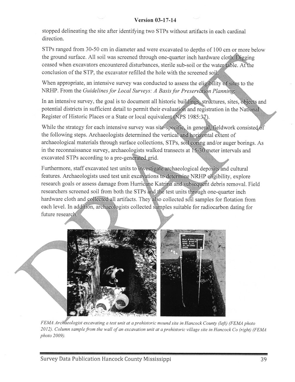
Version 03-17-14
stopped delineating the site after identifying two STPs without artifacts in each cardinal direction.
STPs ranged from 30-50 cm in diameter and were excavated to depths of 100 cm or more below the ground surface. All soil was screened through one-quarter inch hardware clothfDigging
ceased when excavators encountered disturbances, sterile sub-soil or the water table. At'the
/* /
conclusion of the STP, the excavator refilled the hole with the screened soil.' \
/X X
When appropriate, an intensive survey was conducted to assess the eligibility of sites to the
NRHP. From the Guidelines for Local Surveys: A Basis for Preservation Planning:	\
/X	\	N\
In an intensive survey, the goal is to document all historic buildings,-structures, sites, objectsand
potential districts in sufficient detail to permit their evaluationand registration in the Nati6nal\
Register of Historic Places or a State or local equivalent (NPS 1985:37).
X' ‘\	y\	;	/
While the strategy for each intensive survey was site-specific,^in general,.fieldwork consisted 6f the following steps. Archaeologists determined the vertical and hopizontal extent of archaeological materials through surface collections, STPs, soil coring and/or auger borings. As in the reconnaissance survey, archaeologists walked transects at 15-30'meter intervals and excavated STPs according to a pre-generated grid.	\	\
* * /
Furthermore, staff excavated test units to investigate archaeological depo'sits and cultural features. Archaeologists used test unit excavations'to determine NRHP eligibility, explore research goals or assess damage from Hurricane Katrina and subsequent debris removal. Field researchers screened soil from both the STPs and the lest units through one-quarter inch hardware cloth and collected all artifacts. They also collected soil samples for flotation from each level. In additio'n, archaeologists collected samples suitable for radiocarbon dating for future research.
FEMA Archaeologist excavating a test unit at a prehistoric mound site in Hancock County (left) (FEMA photo 2012). Column sample from the wall of an excavation unit at a prehistoric village site in Hancock Co (right) (FEMA photo 2009).
Survey Data Publication Hancock County Mississippi
39
Hancock County History and Archeology Survey-Publication-Data-2014-(42)