
This text was obtained via automated optical character recognition.
It has not been edited and may therefore contain several errors.
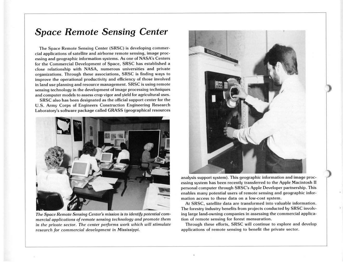
Space Remote Sensing Center
The Space Remote Sensing Center (SRSC) is developing commercial applications of satellite and airborne remote sensing, image processing and geographic information systems. As one of NASA’s Centers for the Commercial Development of Space, SRSC has established a close relationship with NASA, numerous universities and private organizations. Through these associations, SRSC is finding ways to improve the operational productivity and efficiency of those involved in land use planning and resource management. SRSC is using remote sensing technology in the development of image processing techniques and computer models to assess crop vigor and yield for agricultural uses.
SRSC also has been designated as the official support center for the U.S. Army Corps of Engineers Construction Engineering Research Laboratory’s software package called GRASS (geographical resources
The Space Remote Sensing Center’s mission is to identify potential commercial applications of remote sensing technology and promote them in the private sector. The center performs work which will stimulate research for commercial development in Mississippi.
analysis support system). This geographic information and image processing system has been recently transferred to the Apple Macintosh II personal computer through SRSC’s Apple Developer partnership. This enables many potential users of remote sensing and geographic information access to these data on a low-cost system.
At SRSC, satellite data are transformed into valuable information. The forestry industry benefits from projects conducted by SRSC involving large land-owning companies in assessing the commercial application of remote sensing for forest mensuration.
Through these efforts, SRSC will continue to explore and develop applications of remote sensing to benefit the private sector.
NASA Document (058)