
This text was obtained via automated optical character recognition.
It has not been edited and may therefore contain several errors.
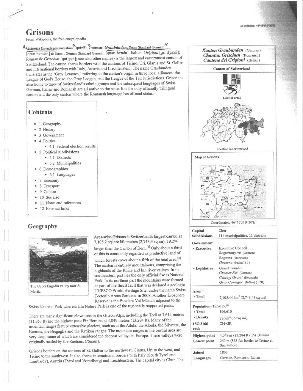
Grisons
Coordinates: 46<>4^?w
From Wikipedia, the free encyclopedia
^Grisons (Frenckj«emmciation:^[gKiz5]; Gennan: Graubutuien, Swiss Standard German:
fgrau'byndan] listen ; Gennan Standard Gennan: [gBao'byndn]; Italian: Grigioni [gri'd3o:ni]; Romansh: Grischun [gKi'3un]; see also other names) is the largest and easternmost canton of Switzerland. The canton shares borders with the cantons of Ticino. Uri, Glarus and St. Galien and international borders with Italy, Austria and Liechtenstein. The name Graubunden translates as the "Grey Leagues," referring to the canton's origin in three local alliances, the League of God's House, the Grey League, and the League of the Ten Jurisdictions. Grisons is also home to three of Switzerland's ethnic groups and the subsequent languages of Swiss German, Italian and Romansh are all native to the state. It is the only officially trilingual canton and the only canton where the Romansh language has official status.
Coh tents
■	1 Geography
:	■	2	History
■	3 Government
|	■	4	Politics
■ 4.1 Federal election results
■	5 Political subdivisions
I	■ 5.1 Districts
j	■ 5.2 Municipalities
■	6 Demographics
* 6.1 Languages "	7	Economy
*	8	Transport
■	9	Culture
■	10 See also
*	11 Notes and references
■	12 External links
Geography
Area-wise Grisons is Switzerland's largest canton at 7,105.2 square kilometres (2,743.3 sqmi), 19.2%
larger than the Canton of Bern J3' Only about a third of this is commonly regarded as productive land of which forests cover about a fifth of the total area.® The canton is entirely mountainous, comprising the highlands of the Rhine and Inn river valleys. In its southeastern part lies the only official Swiss National Park. In its northern part the mountains were formed as part of the thrust fault that was declared a geologic UNESCO World Heritage Site, under the name Swiss Tectonic Arena Sardona, in 2008. Another Biosphere Reserve is the Biosfera Val Miistair adjacent to the Swiss National Park whereas Ela Nature Park is one of the regionally supported parks.
There are many significant elevations in the Grison Alps, including the Todi at 3,614 metres (11,857 ft) and the highest peak Piz Bernina at 4,049 metres (13,284 ft). Many of the mountain ranges feature extensive glaciers, such as at the Adula, the Albula, the Silvretta, the Bernina, the Bregaglia and the Ratikon ranges. The mountain ranges in the central area are very deep, some of which are considered the deepest valleys in Europe. These valleys were originally settled by the Raetians (Rhaeti).
Grisons borders on the cantons of St. Gallen to the northwest, Glarus, Uri to the west, and Ticino to the southwest. It also shares international borders with Italy (South Tyrol and Lombardy), Austria (Tyrol and Vorarlberg) and Liechtenstein. The capital city is Chur. The
Kanton Graubunden (German) Chantun Grischun (Romansh) Cantone dei Grigioni (Italian)
Canton of Switzerland
Location in Switzerland
Map of Grisons
Coordinates: 46°45'N ^O'E
Capital Subdivisions	Chur 114 municipalities, 11 districts
Government •	Executive •	Legislative	Executive Council Regierungsrat (German) Regenza (Romansh) Governo (Italian) (5) Grand Council Grosser Rat (Gennan) CusseglGrond (Romansh) GrcmConsiglio (Italian) (120)
Area^ • Total	7,105.44 km2 (2,743.43 sq mi)
Population (12/2015)ra •	Total 196,610 •	Density 28/km2 (72/sq mi) ISO 3166 CH-GR code
Highest point Lowest point	4,049 m (13,284 ft): Piz Bernina 260 m (853 ft): border to Ticino at San Vittore
Joined Languages	1803 German, Romansh. Italian
Ladner Christian-Ladner-Birth-Death-and-Marriage-11