
This text was obtained via automated optical character recognition.
It has not been edited and may therefore contain several errors.
Ian W. Brown
169
pr * tS
/tSAsSt-
V .t+r-4-
YU > a^* s
9^4 .A, f-iSt-t*p*rr As*('~-
^^^Ca> S'
A/SvC ^
? \X /^t. Ast-^A^'?* ^ tfrnrs< fi S/i#**
j^1 ^ * <^* ?f'"t^ J**+? ft J *(
/rv fjry**? , j? j
A^/isz&r, a
<? 3H*Ay
c/ /-l - ?>_
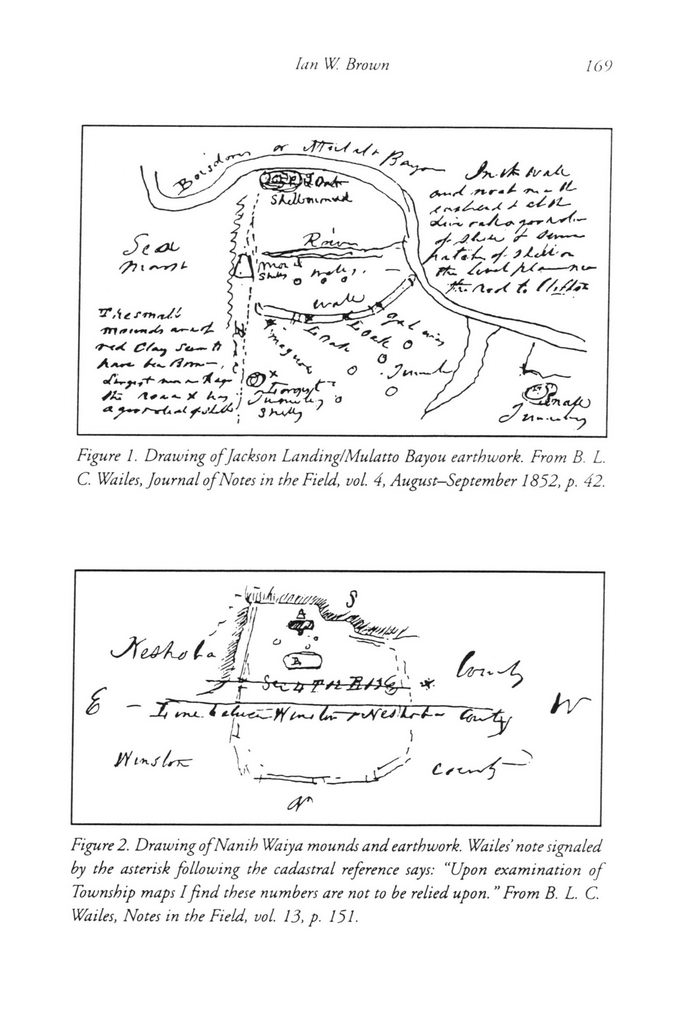
Figure 1. Drawing of Jackson Landing!Mulatto Bayou earthwork. From B. L. C. Wailes, Journal of Notes in the Field, vol. 4, August?September 1852, p. 42.
&
>i,! p ------ ^'l
f f ^ r'1 * ,
? 4 Ctr-T-iSfU'U-i? ^'/~
A ?
/*W?*r \ | Csr^-?'
Figure 2. Drawing of Nanth Waiya mounds and earthwork. Wailes' note signaled by the asterisk following the cadastral reference says: ?Upon examination of Township maps I find these numbers are not to be relied upon. "From B. L. C. Wailes, Notes in the Field, vol. 13, p. 151.
Wailes, Benjamin Archeology of Mississippi-13