
This text was obtained via automated optical character recognition.
It has not been edited and may therefore contain several errors.
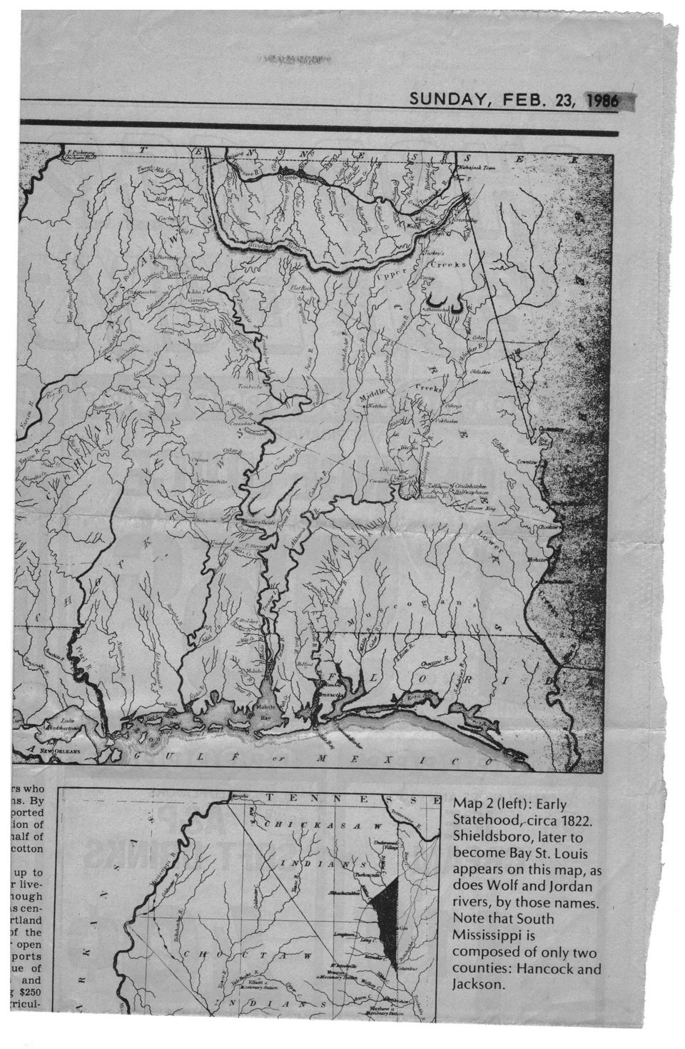
SUNDAY, FEB. 23, 1986
rs who OS. By ported ;ion of Saif of cotton
up to r live-jiough is cen-rtland )f the r open ports ue of i and % $250 rricul-
Map 2 (left): Early Statehood, circa 1822. Shieldsboro, later to become Bay St. Louis appears on this map, as does Wolf and Jordan rivers, by those names. Note that South Mississippi is composed of only two counties: Hancock and Jackson.
Hancock County History General Newspaper Clippings Mississippi-Maps-(3)