
This text was obtained via automated optical character recognition.
It has not been edited and may therefore contain several errors.
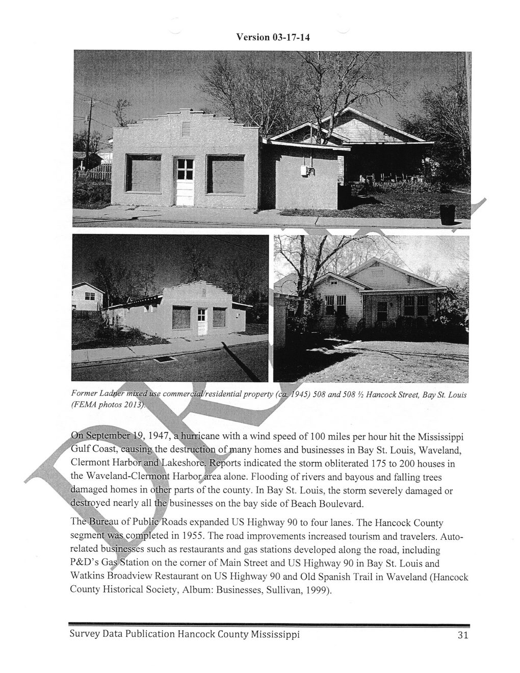
Version 03-17-14
Former Ladner mixed use commercial/residential property (ca., f945) 508 and 508 '/: Hancock Street, Bay St. Louis (FEMA photos 2013).	-•	>
/.(^ September''l^l 947, a hurricane with a wind speed of 100 miles per hour hit the Mississippi s,-yGu\f Coast,'causingsthe destruction of many homes and businesses in Bay St. Louis, Waveland, Clermont Harbor and'Lakeshore. Reports indicated the storm obliterated 175 to 200 houses in the Waveland-Clermorit Harbor .area alone. Flooding of rivers and bayous and falling trees damaged homes in other parts of the county. In Bay St. Louis, the storm severely damaged or
' --destroyed nearly all the businesses on the bay side of Beach Boulevard.
\
The Bureau of Public Roads expanded US Highway 90 to four lanes. The Hancock County segment was completed in 1955. The road improvements increased tourism and travelers. Autorelated businesses such as restaurants and gas stations developed along the road, including P&D’s Gas Station on the comer of Main Street and US Highway 90 in Bay St. Louis and Watkins Broadview Restaurant on US Highway 90 and Old Spanish Trail in Waveland (Hancock County Historical Society, Album: Businesses, Sullivan, 1999).
Survey Data Publication Hancock County Mississippi
31
Hancock County History and Archeology Survey-Publication-Data-2014-(32)